Warriors Passage
Scout Trail
Managed by the Cherokee Hiking Club
Contact Richard Harris for information
533 Shaw Mountain Road
Tellico Plains, TN 37385
warriorspassage@aol.com
423-253-6358 home
513-260-1184 cell
Warriors Passage National Recreation Trail
The Warriors Passage is a hiking and backpacking route developed by Scouts from the Great Smoky Mountain Council in Knoxville, TN in the 1960s. The Warriors Passage Trail is only a part of the entire route. The trail itself is to the east of Tellico Plains TN on the slopes of Waucheesi Bald in the Cherokee National Forest. The trail runs from Waucheesi Bald down the west side of the mountain, crossing Bald River Road and Wildcat Road, then Wildcat Creek, and ends on Old Furnace Road and is 6.2 miles long. The entire Warriors Passage "route" begins near Unicoi Gap in the Tellico Ranger District in the Cherokee National Forest of Southeast Tennessee and ends on the Cherohala Skyway on the edge of the Tellico River. The first segment of the route is the Unicoi Turnpike Trail, following the old turnpike route used first by the Cherokee Indians, then settlers, to cross the mountains from North Carolina and South Carolina into Tennessee and the Tennesee River Valley. The route then follows the Benton MacKaye Trail along the crest separating Tennessee and North Carolina from Unicoi Gap to Six Mile Gap on the north slope of Waucheesi Bald. A connector trail takes hikers to the top of Waucheesi Bald and from there the route follows the Warriors Passage Trail to Old Furnace Road. Hikers can then hike down the forest service road to the Cherohala Skyway and the Tellico River, to eat ice cream and hamburgers at the Tellico Beach Drive-in before heading home.
If hiking the trail in one day, our recommendation is to hike from Unicoi Gap to Old Furnace Road, a distance of 12.5 miles with an elevation gain of about 2000 feet, or from the top of Waucheesi Bald to Old Furnace Road, a distance of 6.2 miles, with minimal elevation gain of 300 feet. A 10 mile route is to hike from the top of Waucheesi Bald to Old Furnace Road, a gravel forest service road, down to the Tellico Beach Drive-In, ending the hike with Mayfields ice cream, hot dogs, hamburgers, etc. For those backpacking, our recommendation is to backpack from the start of the Unicoi Turnpike Trail along Joe Brown Highway to the top of Waucheesi Bald, camping there for the night with a 360 degree view of the surrounding mountains. There is no charge for camping on the bald. Water is available at a spring about a half mile down the road at the old Double Springs campsite or water can be brought in by car. No bathroom facilities are available, so cat holes need to be dug. The next day, the backpack can be completed by going down the Warriors Passage Trail to Old Furnace Road and out the road to the Tellico Beach Drive-In. The distance of this route is 17.6 miles with the campsite approximately in the middle of the route.
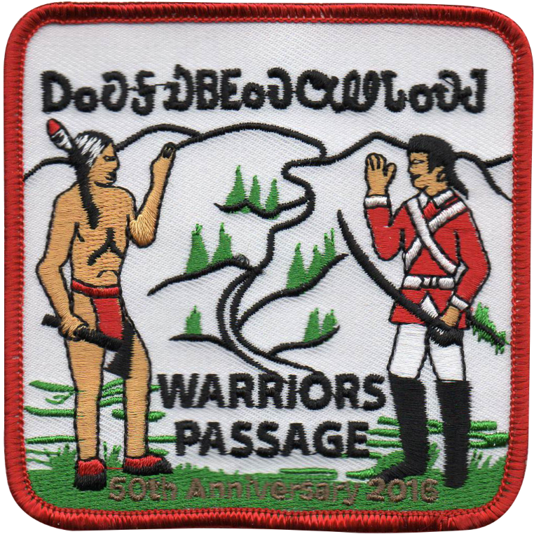
Those who hike or backpack Warriors Passage can purchase the anniversary patch for $5 from the Cherokee Hiking Club. Leaders should register their troop in advance using the form available on this website, then afterwards request the patches on the separate form. In order to earn the patch, the Scouts need to review the information in the attached document on the history of the area. This might best be done by a leader-led discussion on the evening of the backpack trip while gathered around a campfire. The trail is predominantly for Scouts, but is open to all youth groups such as church groups and Girl Scouts. The trail is also fully open to anyone else as well. Anyone can purchase the patch once the patch requirements are met. One of the requirements is to read the information on this website on the history of the trail corridor.
These links will guide you through the process:
GPS Track for 6.2 mile route
GPS Track for entire route